The NAO and AO are something I talk about all the time because they are the two key players in our weather here in North Jersey. (http://meteomaddness.blogspot.com/2007/09/snow-watch.html - go to that old blog to learn more about the NAO and AO) Both of the two are currently taking a nose dive toward the negative side and the weather will certainly take a nose dive along with it. The negative phase means cold air/low pressure for our region, just to give you a heads up, last winter was mostly a positive phase.


Let's get to the models! First model is the DGEX which is a downgraded form of the GFS. This shows the forecasted temperatures 150 hours out. As you can see from the key White is 0 degrees C, which is 32 degrees F. (First freeze!!!!) (MAP OF DATE, SORRY)

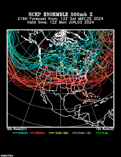
The next model is the NMC. Most know it as the spagehtti plot. It too shows cold air and if you want to see the animation click the link. http://www.cdc.noaa.gov/map/images/ens/spag_nhsm_animation.html
The GFS model is the last but not least. The 18 UTC model just came out and is showing some days where we won't even get above 50 for the day! Im not going to post the image itself, just click the link to look at the model run! http://www.nco.ncep.noaa.gov/pmb/nwprod/analysis/namer/gfs/18/index_slp_lu_loop.shtml
FALL FOILAGE!!!
The leaves are delayed a bit but they should peak in the next 8 t0 10 days! Check out the link for the Fall Foilage Network... http://www.foliagenetwork.com/reports/northeast_us/


No comments:
Post a Comment