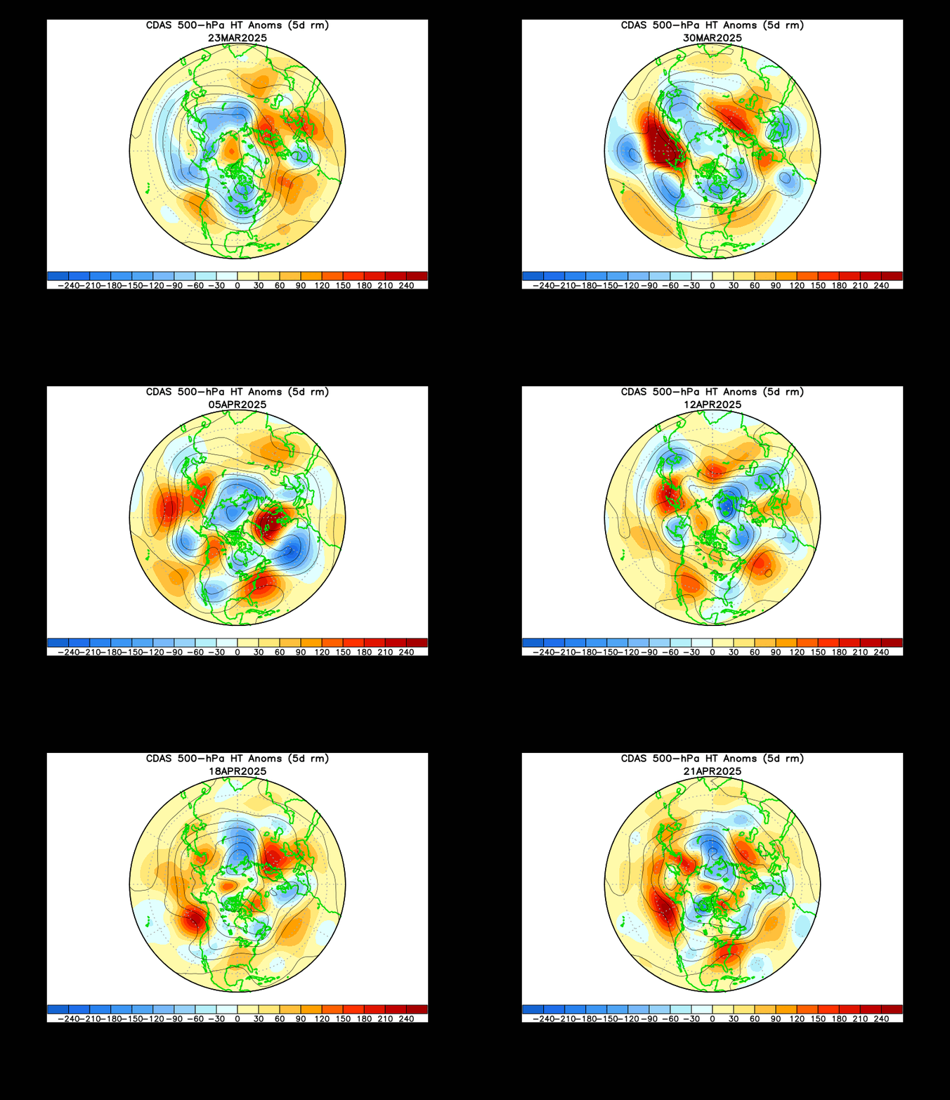
Above you can the current stratospheric temperatures over the past month. It starts off with warming over the pole then snaps to a cold phase over that same area. That was the end of our crazy weather pattern but there are hints that another warming event may send the AO and NAO back into negative territory. With both these blocking patterns in a positive phase the winter snow season will cease to exist.
There aren't any future up coming snow events in sight, just some cold air with storms being sent out to sea. We can take this time to relax and just get a break from shoveling and all the stress that goes with forecasting major winter events. Remember winter is only half way over...


No comments:
Post a Comment