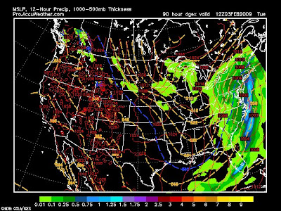
These following models show the storm going out to sea:
GFS, EURO, NOGAPS
These folling models show the storm riding just offshore:
Canadian, JMA, UKMET, GDEX (here all the following models in order)

Ok, so since the EURO and GFS are on the same side I think the GFS is wrong like it usually is 3-5 days out, meaning the EURO is wrong as well. There will be a storm coming up the east coast and a band of 8-15 inches will occur between New York City and State College PA, but who get's it? That's what I need to find out, check back tomorrow.


No comments:
Post a Comment